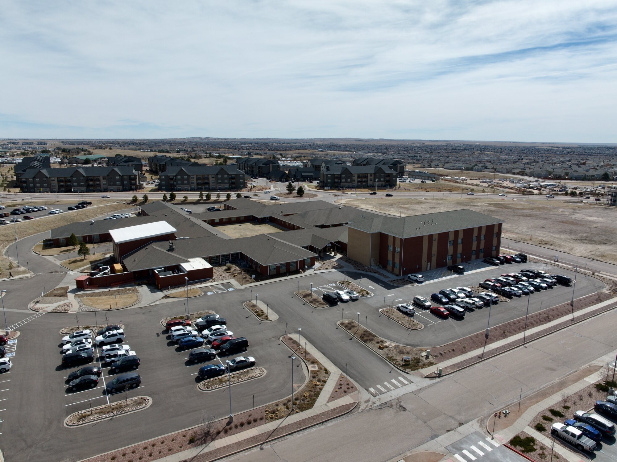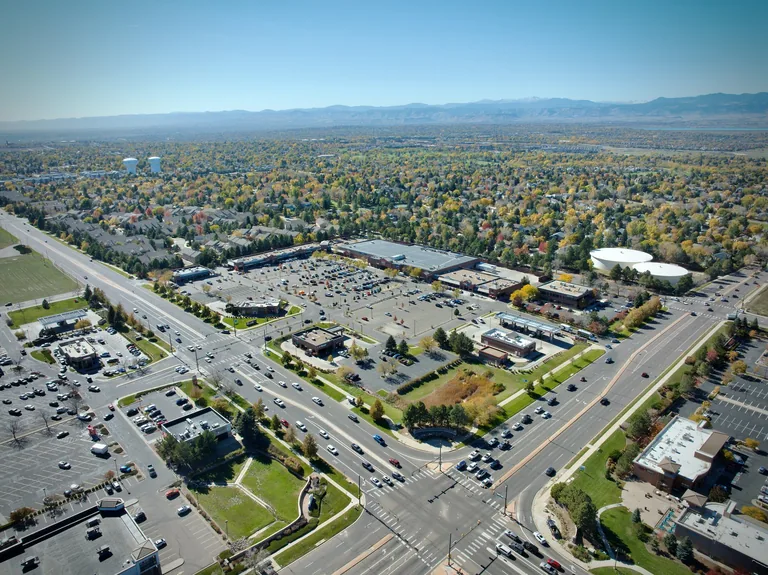
Aerial view of a Colorado residential neighbourhood at peak fall foliage — mature tree canopy in autumn colour, Rocky Mountain backdrop, established community with retail and amenities visible
Colorado Springs  ·  FAA Part 107  ·  24-Hour Delivery

Listings that show
the full picture.

Aerial photography for residential listings, commercial properties, multifamily, mixed-use developments, and everything in between. Delivery-ready files within 24 hours.

FAA Part 107 Certified
$1M Liability Insured
Delivered Within 24 Hours
Veteran-Owned · SDVOB
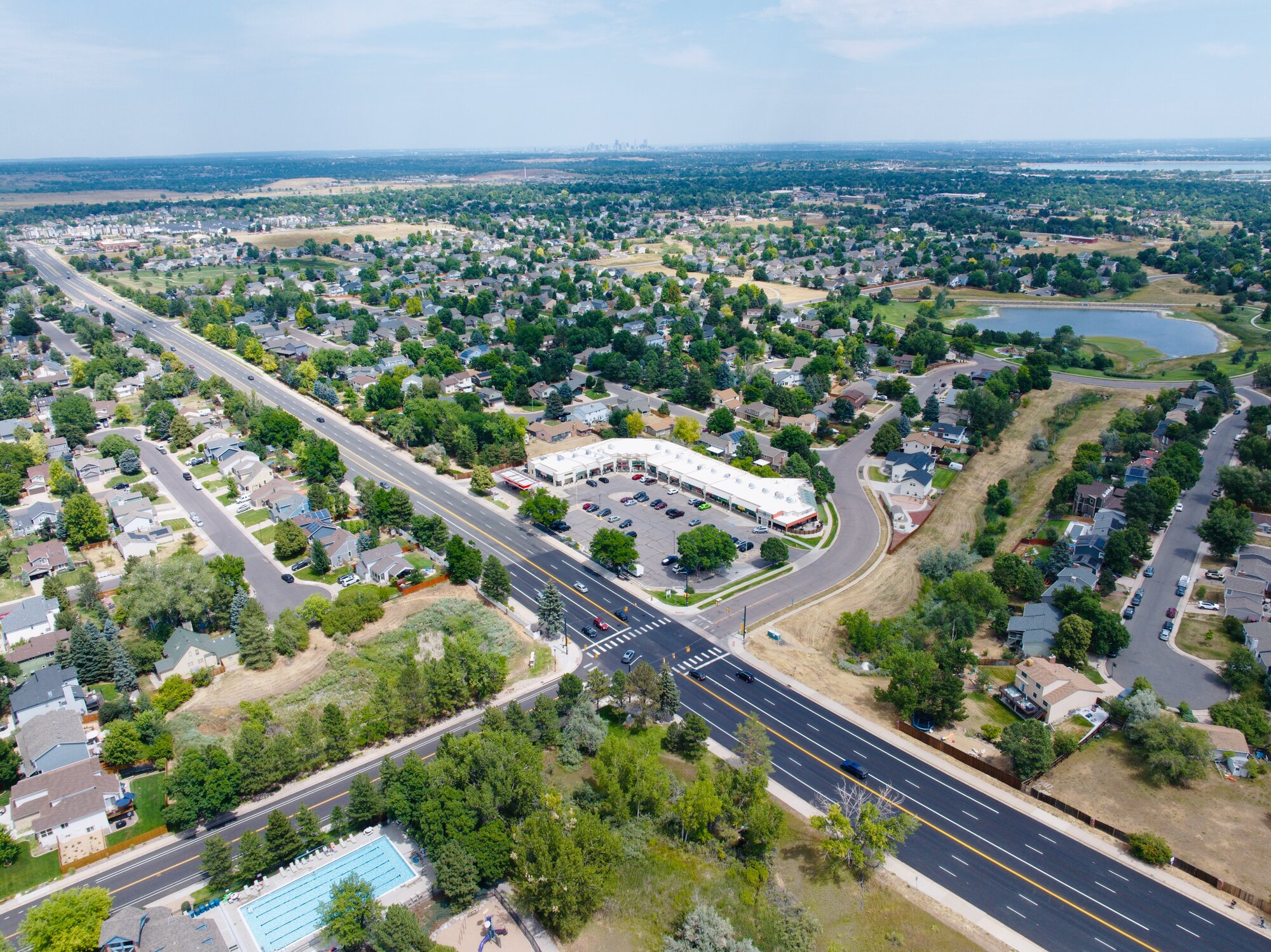
Aerial view of an established Colorado residential suburb — community pool, lake, mature trees, and residential streets visible with the city skyline on the horizon

Buyers decide on context.
Aerials deliver it.

Ground-level photos show the interior. They don't show how a lot sits on the street, how a retail center anchors a corner, how a multifamily building relates to the surrounding block, or what the neighbourhood looks like from above. Buyers, tenants, and investors are forming impressions before they ever schedule a visit.

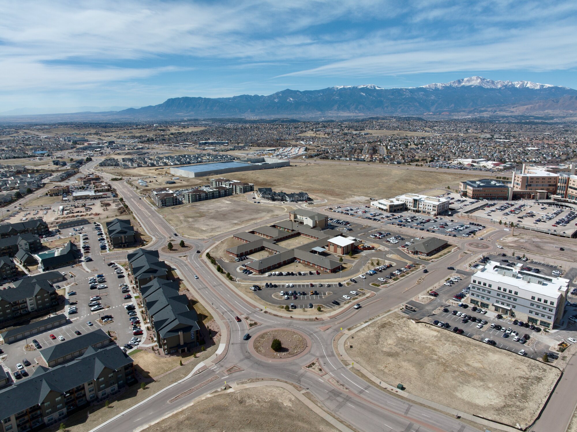
Aerial photography answers those questions: site footprint, access and circulation, adjacency to amenities, development context, and the broader setting. Whether it's a residential listing, a commercial sale, a leasing package, or a development marketing piece, the aerial view is the one that closes the gap between a property description and a property understood.

Property photography is the majority of our aerial work — residential and commercial. Every flight is planned in advance, flown legally by an FAA Part 107 certified remote pilot, and delivered within 24 hours.

24 hrs
Delivery turnaround
5.0 ★
13 Google reviews
$1M
Liability insured

Ready to upload.
No extra steps.

01
HDR aerial photos
Full-resolution files for print and large digital, plus web-optimized copies for MLS, CoStar, LoopNet, listing sites, and marketing decks. Color-corrected and ready to use.
02
Site context & neighbourhood aerials
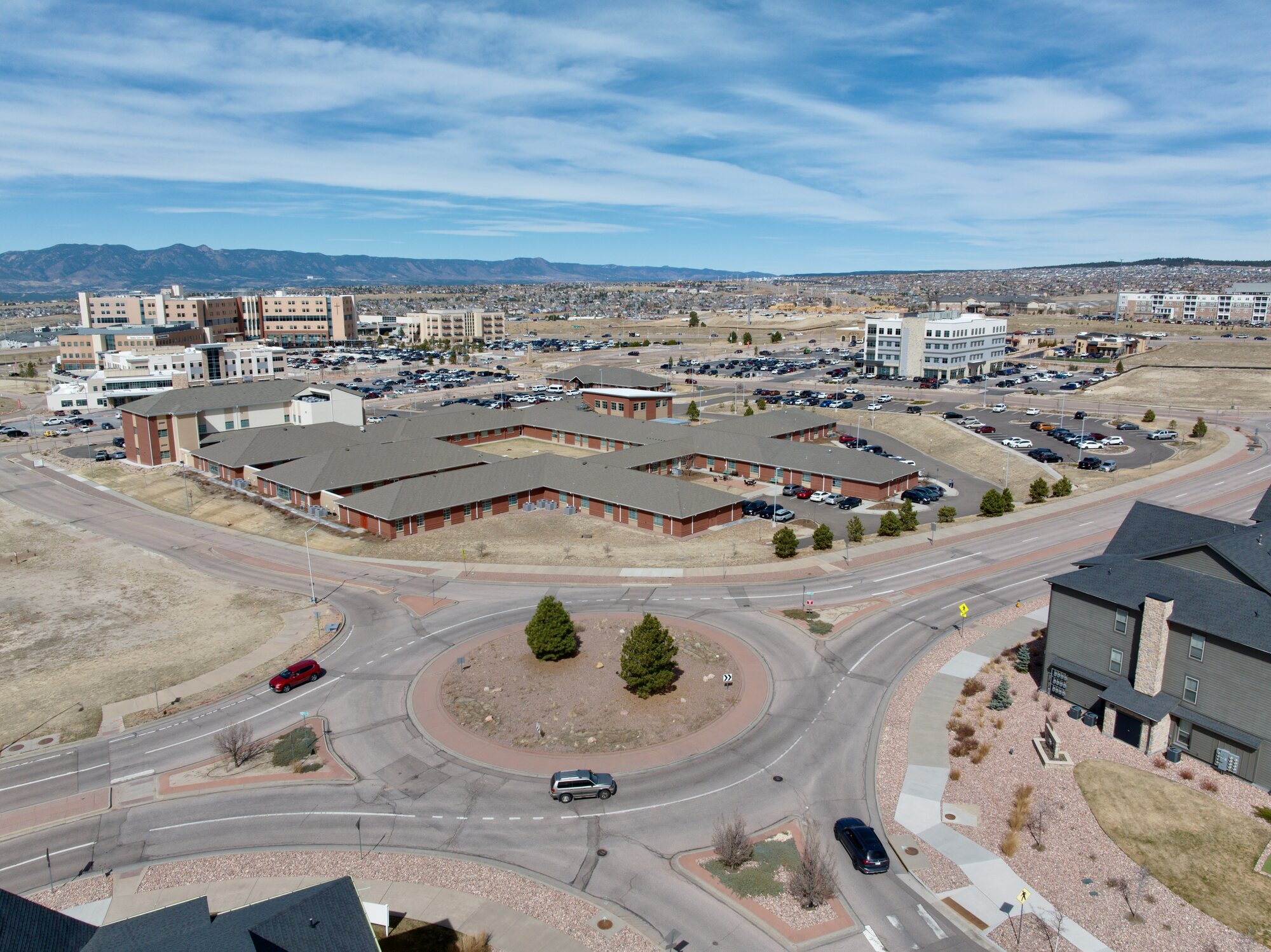
Wider pulls that show the property in its setting — surrounding blocks, access roads, adjacent development, proximity to retail, transit, or open space.
03
Property video (on request)
A short MP4 suitable for MLS, CoStar, investor packages, social media, or a property website. Smooth orbital and reveal passes — edited to a clean cut, not a raw footage dump.
04
Twilight aerials (on request)
Blue-hour exterior shots with building lights on. Consistently outperform daytime images for listing engagement — residential or commercial. Scheduled at sunset; request when booking.
05
Secure 24-hour download
All files delivered via private link within 24 hours of the flight. Shareable with clients, brokers, leasing teams, investors, or marketing coordinators.
06
Fully licensed for your use
Licensed for MLS, CoStar, leasing brochures, investor decks, print, and social. No re-licensing required. Use them throughout the marketing and transaction cycle.

Property types that benefit
most from aerial.

Residential listings
The ROI is straightforward: listings with aerial photos get more views and more saves. In a competitive market where buyers scroll dozens of options, the aerial thumbnail is often what makes them stop.
Commercial & retail properties
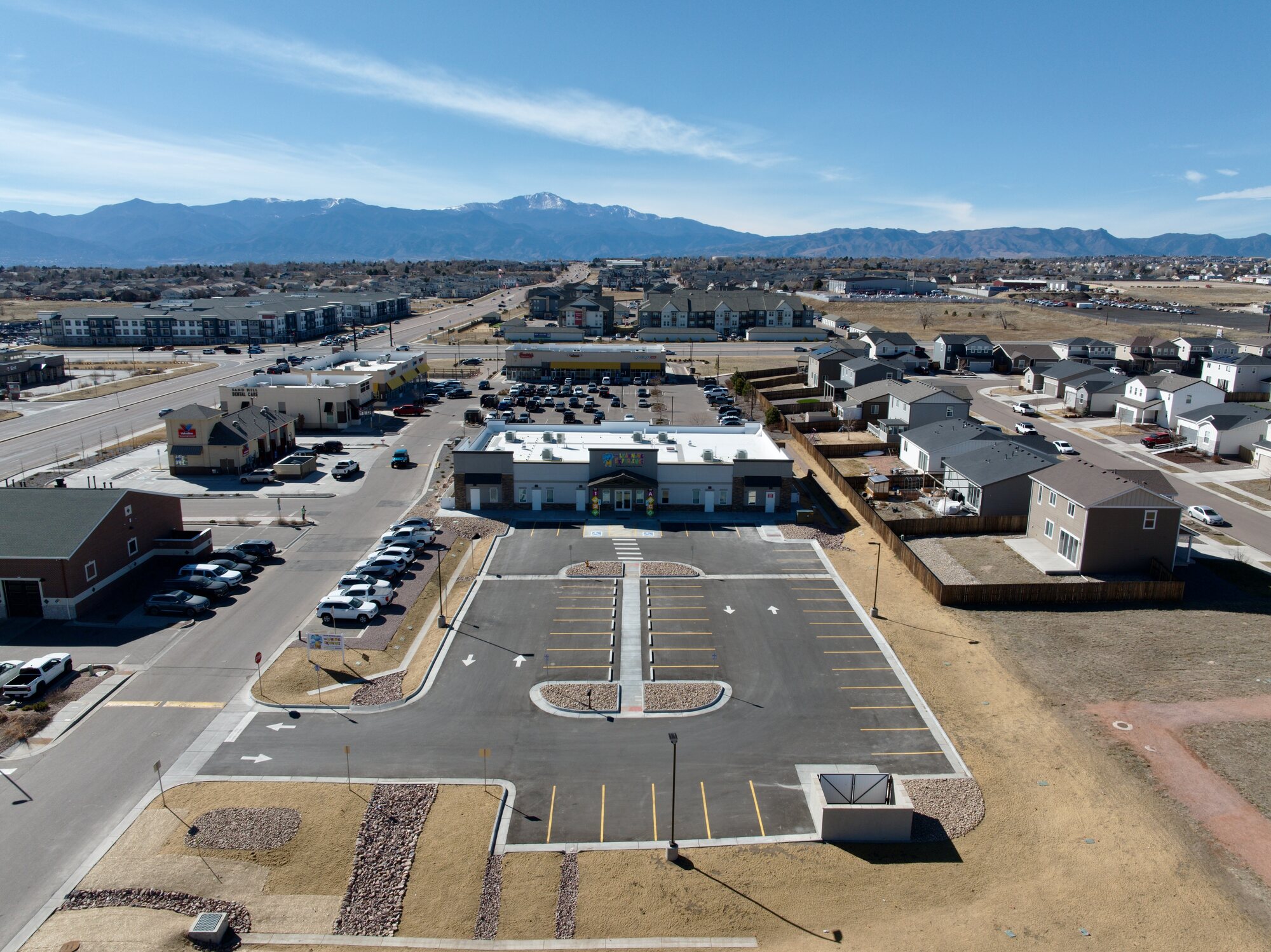
Corner visibility, parking, traffic access, adjacent uses — the details that matter most for commercial buyers and tenants. Aerial documentation shows the full site picture in a way a ground-level walk-around never can.
Multifamily & mixed-use
Apartment communities, mixed-use buildings, and multifamily developments benefit from aerial photography that shows the full footprint, parking, amenity areas, and neighbourhood context — assets that no interior photo communicates.
Luxury & high-end properties
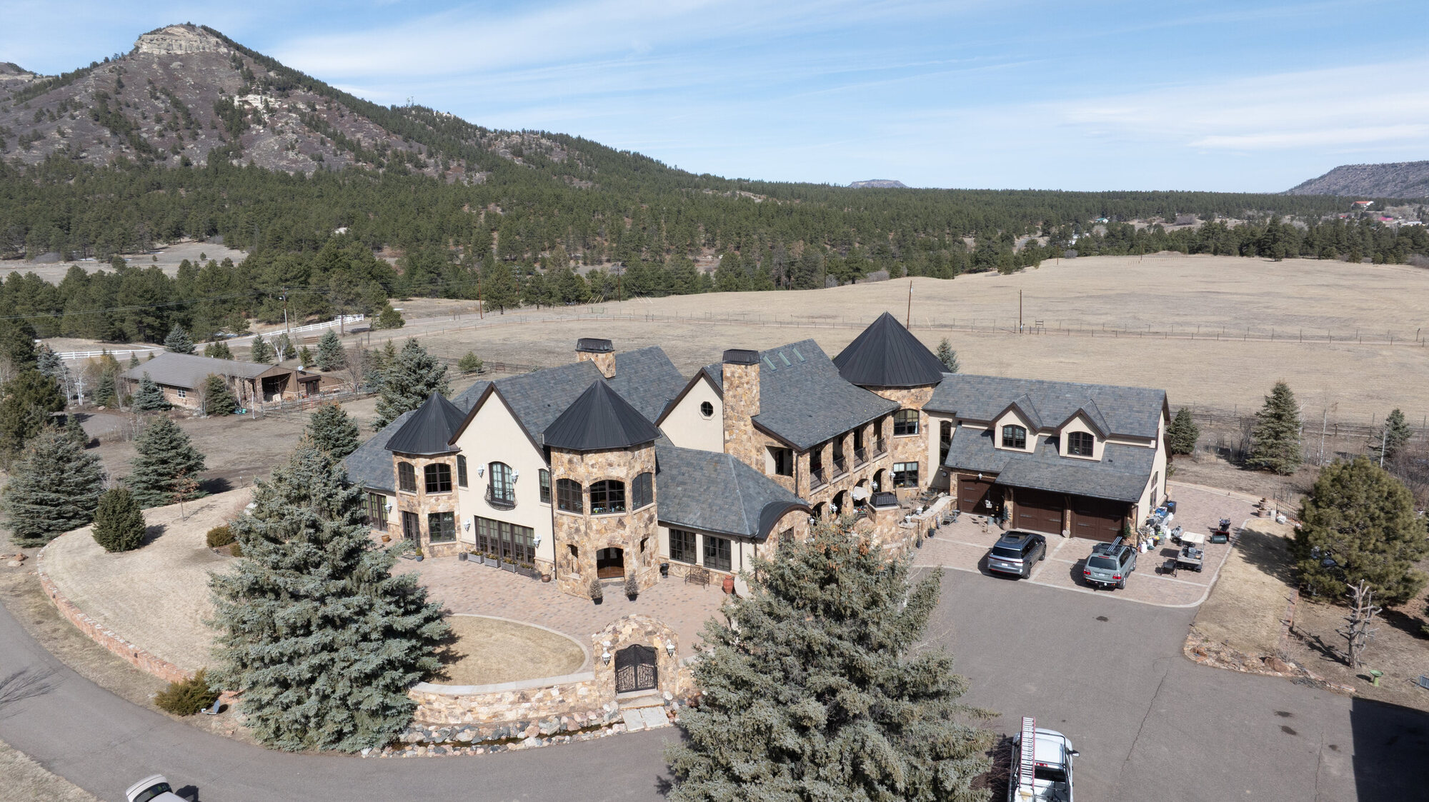
At the high end — residential or commercial — complete media is a baseline expectation. Complex rooflines, private lots, outdoor living, unique site features: these read better from above, and buyers at this level notice the difference.
Development sites & land
For land, development parcels, and large-lot listings, aerial photography is the only way to communicate scale and context. Topography, boundary relationships, access roads, and surrounding uses — all readable from above, none of it from the ground.
Brokers & teams on a deadline
Listings and leasing packages go live on a schedule. We're built for it: same-week scheduling, 24-hour delivery, and direct communication — not a ticketing system. Residential agents, commercial brokers, and property managers all work the same way.

Send the address.
Get the files.

Send us the property address

Text or email the address, your preferred window, and any specific angles or context you want captured. Works for residential, commercial, and development sites. We confirm same day.

We fly — you don't need to be there

Your FAA Part 107 certified pilot handles airspace authorizations, plans the shot list, and executes the flight. Nobody needs to be on site — residential, commercial, or vacant land.

Edited files in 24 hours

Color-corrected photos and any video arrive via private download link within 24 hours. Ready for MLS, CoStar, investor decks, or your marketing team — no additional editing required.

I've worked with Alex at Aerial Professional Services on several of my listings, and I cannot recommend him highly enough. As a real estate agent, high-quality aerial photography is essential for showcasing properties effectively.

Trish I.  ·  Real Estate Agent  ·  Google Review  ·  Colorado Springs

Common questions.

Full-resolution HDR photos and web-optimized copies ready for MLS, CoStar, LoopNet, investor packages, or your marketing team — plus any video as MP4. Everything arrives via a private download link within 24 hours. Color-corrected and ready to use as delivered.
Colorado Springs has restricted airspace around several military installations. As a FAA Part 107 certified operator we check airspace classification for every flight and obtain all required authorizations before arriving on-site. If a property falls in controlled or restricted airspace, we handle the authorization process — you don't need to coordinate anything separately.
Most shoots run 30–60 minutes on site. Nobody needs to be present — we just need the address and any relevant access notes. Vacant land, occupied residential, active commercial sites, and large parcels are all straightforward.
Yes. Twilight aerials — exterior lights on, blue-hour sky — consistently outperform daytime shots for listing click-through and saves. We schedule twilight sessions around sunset. Request it when booking and we'll build it into the shoot.
Yes — commercial and mixed-use work is a significant part of our portfolio. Retail centers, multifamily communities, office buildings, development sites, and mixed-use projects all benefit from aerial documentation. We work with commercial brokers, property managers, and developers directly. If you need imagery for a leasing package, an investor deck, or a sales brochure, the process is the same: send the address and we'll confirm scheduling same day.

Residential. Commercial.
All property types.

Text or email the address and your preferred window. We work with agents, commercial brokers, property managers, and developers. Same-day confirmation, files within 24 hours.

Text Us Schedule Shoot