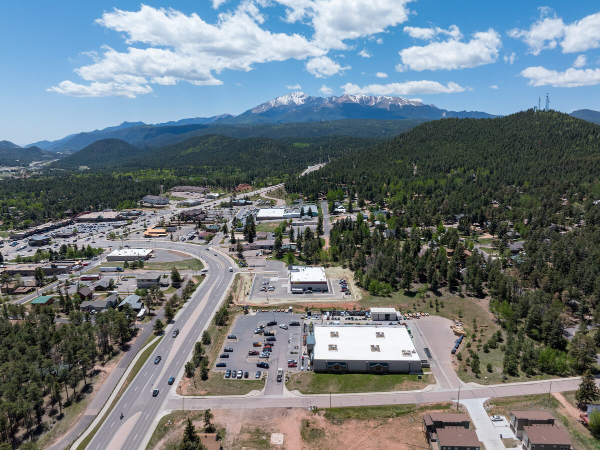
Full-resolution aerial photography
High-resolution edited images delivered in industry-standard formats — ready for MLS submission, print production, or digital distribution.
Your project files are delivered by email through a unique, private link created specifically for your project. No public directory. No shared client portal.
Hosted on Aerial Professional Services private storage infrastructure.
Delivery links are sent by email after your project is complete. Some links are password-protected and may expire after project completion. Archived files can typically be reissued upon request, subject to availability. Contact us if you need a replacement.
No logins, no shared portals. Your files go directly to you through a private link sent to your inbox.
Edited photos, video exports, reports, and supporting documentation are organized and packaged for your project.
A unique Synology Drive delivery link is sent to your email. Some projects may include a password for added protection.
Open the link, preview your files, and download your project deliverables directly from the secure delivery page.
For security, Aerial Professional Services does not provide a public client file directory. Each project is delivered through a unique private link.
Every delivery is organized, labeled, and ready to use. Below are the file types and products included in a typical APS project delivery.
High-resolution edited images delivered in industry-standard formats — ready for MLS submission, print production, or digital distribution.
Color-corrected, exposure-balanced photographs optimized for listing presentations, web publishing, and marketing collateral.
Cinematic aerial video edited and exported in 4K resolution — suitable for YouTube, social media, and broadcast-quality presentations.
Sequential aerials organized by shoot date, providing a complete visual record of site development from groundbreaking through project completion.
High-resolution documentation suitable for insurance claims, contractor estimates, and homeowner records — delivered as a structured image report.
Georeferenced orthomosaic maps, elevation models, and site surveys in GeoTIFF and standard GIS formats — available upon project request.
Delivery summaries, flight logs, FAA airspace authorization records, and supporting project documentation as applicable to your project scope.
If your delivery link has expired, you did not receive it, or you need a replacement link for any reason — contact us directly. We'll resend your link promptly. We respond within one business day, usually much sooner.