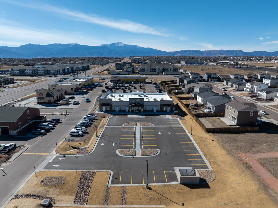
Aerial view of a completed commercial development with Pikes Peak and the Front Range in the background
Colorado Springs  ·  FAA Part 107  ·  Monthly plans from $350

Your build, month by month.
From the same angle, every time.

Scheduled drone flights for active construction sites. Repeat-position progress photos, aerial video and orthomosaic maps that owners, lenders and project teams can open from one link. Monthly plans from $350.

FAA Part 107 Certified
$1M Liability Insured
LAANC Airspace Handled
Veteran-Owned
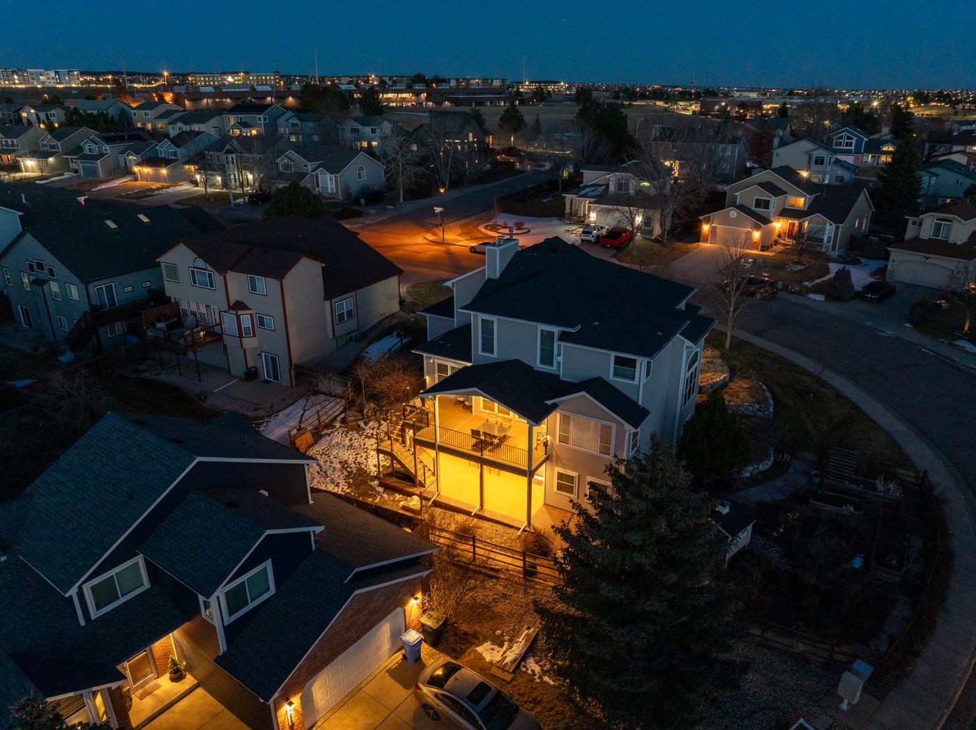
Blue-hour aerial view of a Colorado Springs residential subdivision with warm amber porch lights glowing across rooftops, a newly completed two-story home with lit covered deck prominent in the foreground, city lights extending to the horizon

One flight a month.
A clear record of the whole build.

Owners and lenders want to see progress without driving to the site. Project managers need a visual record for schedule updates, draw requests and the occasional dispute. A monthly drone flight gives everyone the same view, on the same day, from the same positions.

We fly fixed waypoints each visit, so this month's images line up with last month's. You get a download link within 48 hours that you can forward to anyone on the project.

Every flight is flown by an FAA Part 107 certified remote pilot carrying $1M in liability coverage. Controlled-airspace authorizations near Peterson, Fort Carson and the Colorado Springs airport are requested before we arrive.

From $350
Per month
48 hours
Delivery
5.0 ★
13 Google reviews

What you receive
every month.

01
Repeat-position progress photos
The same fixed waypoints and angles every visit, so month-to-month changes are obvious at a glance.
02
Aerial progress video
A short flyover of the whole site that's easy to share with owners, investors and lenders.
03
Orthomosaic map (add-on)
A stitched, measurable top-down map of the site for planning, earthwork review and as-built records.
04
Shareable download link
Everything delivered within 48 hours through one private link: no logins, easy to forward.
05
Dated, geotagged files
GPS and capture dates kept in every file: a clean record for draw requests, schedules and disputes.
06
Airspace and safety handled
LAANC authorizations, flight planning and site coordination are on us. Your crew keeps working.

Plans start at $350 per month for one flight. Price depends on site size, flight frequency and add-ons such as orthomosaic maps. One-off milestone flights are also available.

Construction sites we've documented.

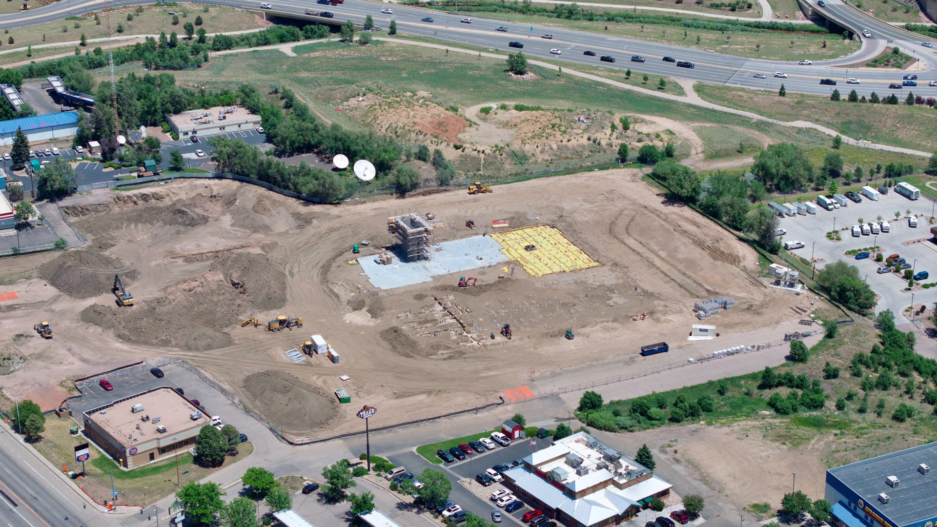
Aerial construction progress documentation showing site grading, foundation work, equipment staging, and surrounding access roads.
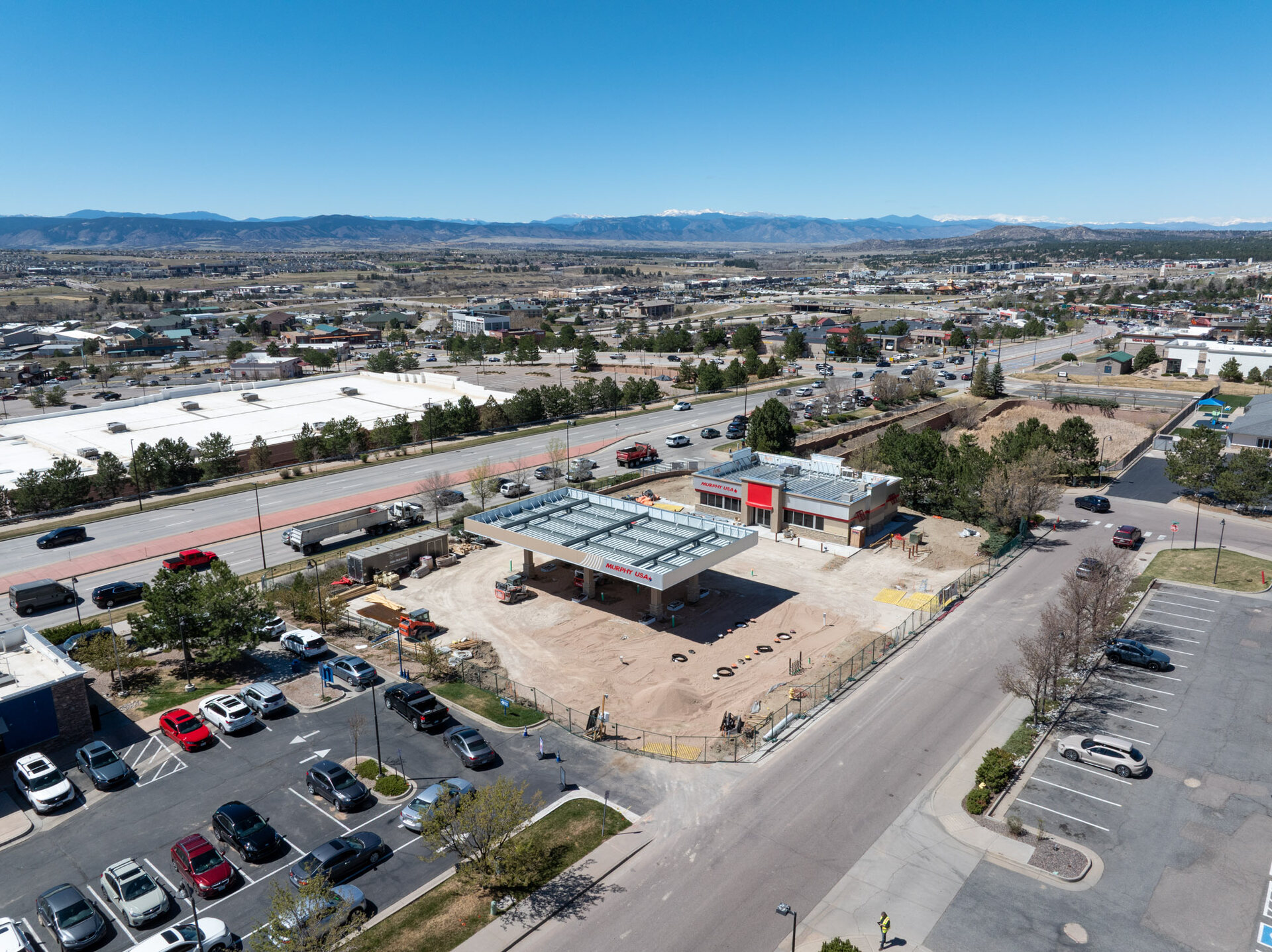
Aerial view of an active commercial construction site with the snow-capped Rampart Range and Colorado Springs extending to the mountains behind
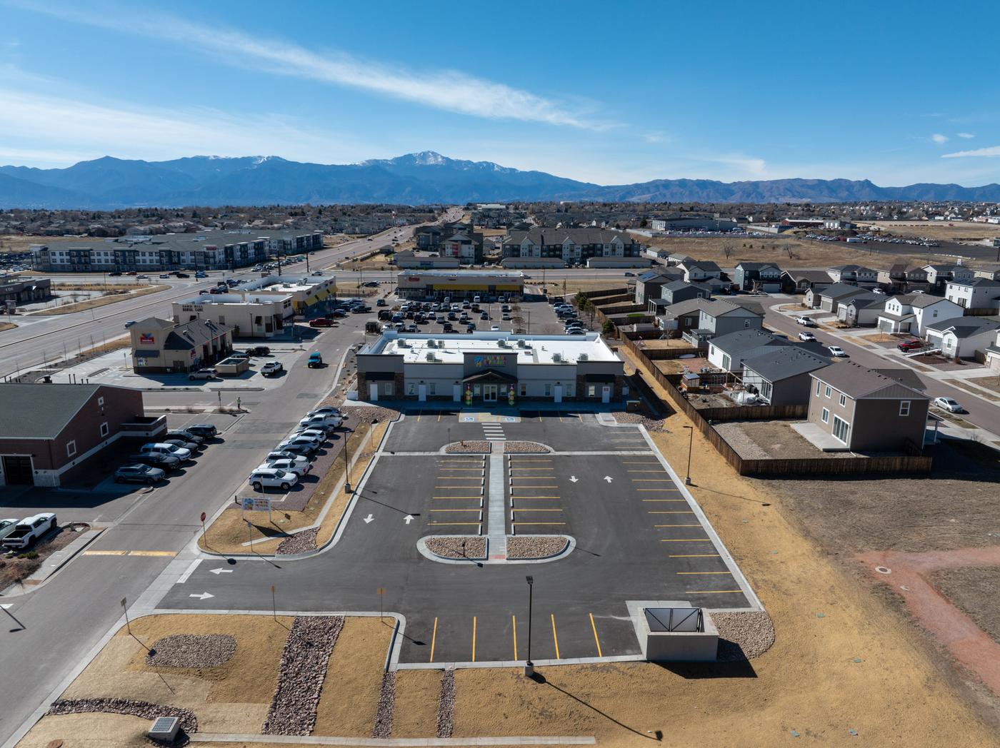
Daytime aerial of a completed commercial retail and mixed-use development with Pikes Peak prominently centered, fresh parking lot striping, and new multifamily buildings adjacent, Colorado Springs
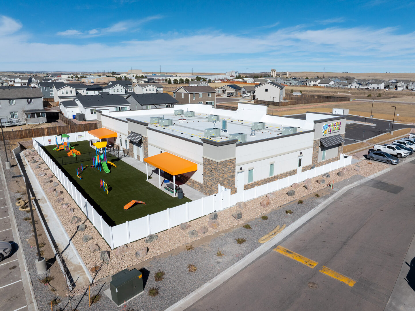
Aerial view of a completed commercial daycare facility with colorful playground and fresh landscaping, Colorado Springs
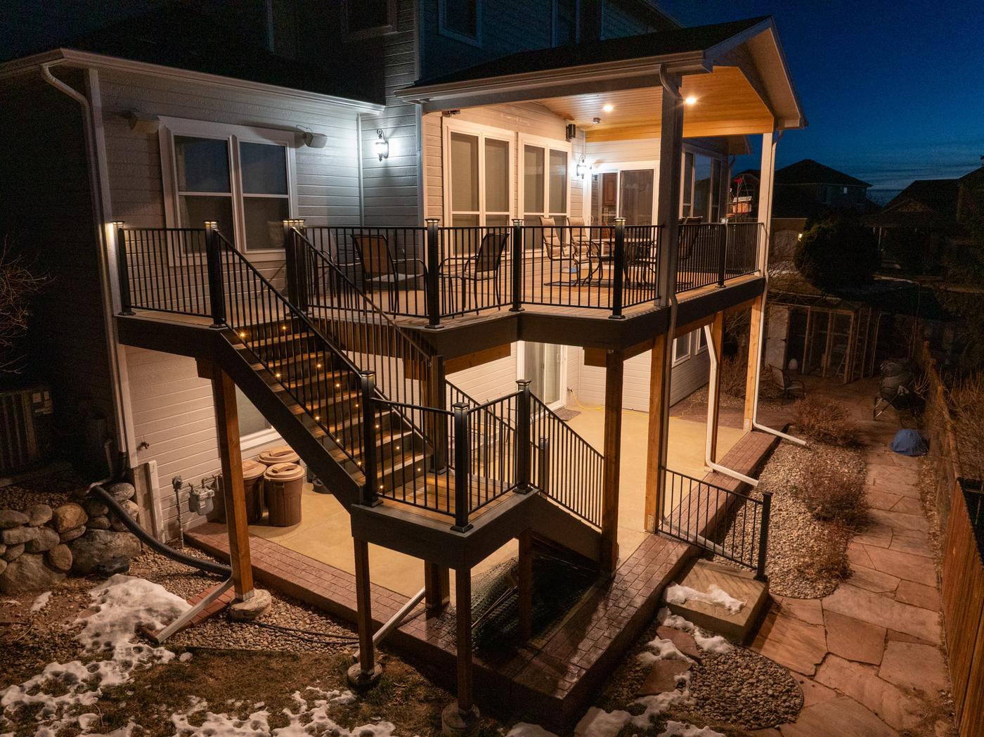
Low aerial view of a completed two-story deck addition at blue hour with black steel railings, LED step lighting on the staircase, screened upper porch with warm interior glow, and snow on the ground

More in the construction portfolio.

Who uses monthly flights.

General contractors and project managers
A consistent visual record for owner meetings, schedule updates and subcontractor coordination, without anyone walking the site with a camera.
Owners, developers and investors
See real progress from anywhere. Repeat angles make it easy to compare month to month and share with partners.
Lenders and draw inspections
Dated, geotagged imagery that supports draw requests and makes completion percentages easier to verify.
Marketing and leasing teams
Aerial photos and video of the finished project, plus time-lapse-style progress for pre-leasing and social media.

Set up once.
We fly every month.

Tell us about the site

Send the address, project size and how long the build will run. We confirm pricing the same day.

First flight sets the waypoints

We plan fixed positions and angles on the first visit and reuse them every month after.

Monthly scheduled flights

Flights happen on a set day each month (or more often during busy phases). Airspace is handled.

Link in your inbox

Photos, video and any maps delivered within 48 hours through one shareable link.

Common questions.

One scheduled flight per month from the same fixed positions, a set of high-resolution progress photos, a short aerial video, and a shareable download link. Orthomosaic maps can be added. Plans start at $350 per month; the exact price depends on site size and deliverables.

Repeat positions make month-to-month comparison easy: owners, lenders and project managers can line up images and see exactly what changed, which is useful for draw requests, schedule updates and dispute records.

Yes. Much of Colorado Springs sits in controlled airspace. As an FAA Part 107 certified pilot we request the required LAANC authorizations before each flight, so you do not need to arrange anything.

Yes. Fast-moving phases such as foundations, framing or site work often benefit from every-two-weeks flights. We can also do one-off flights for milestones, marketing or final completion.

No long contract is required. Most clients keep a plan for the length of the build, and you can pause or stop with notice before the next scheduled flight.

Building in
the Pikes Peak region?

Send us the site address and build timeline. We'll confirm a monthly plan and price the same day. No long contract required.

Text Us Get a Quote